![]()
|
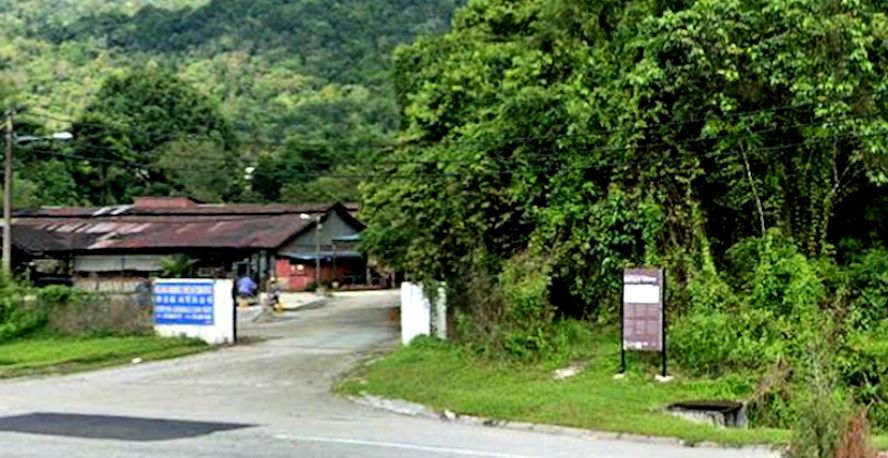
Battle For Kampar The Battle of Kampar (30 December 1941 – 2 January 1942) was an engagement of the Malayan Campaign during World War II, involving British and Indian troops from the 11th Indian Infantry Division and the Japanese 5th Division.On 27 December, there was an effort to prevent the capture of the 11th Indian Infantry Division that occupied Kampar, and which offered a strong natural defensive position. The strategy - the Division were tasked with delaying the advancing Japanese troops long enough to allow the 9th Indian Infantry Division to withdraw from the east coast. The Japanese intended to capture Kampar as a New Year’s gift to Emperor Hirohito.On 30 December, the Japanese began surrounding the British and Indian positions. The following day fighting commenced. The Allied forces were able to hold on to their position for four days. Then on their own, started withdrawing and vacating their stand on 2 January 1942, having achieved their objective of slowing the Japanese advance. The site overlooking Kampar is set on what is now called "Green Ridge". That ridge, together with the nearby Thompson, Kennedy and Cemetery Ridges overlook the main road passing to the south of Perak, and were of great strategic value. The ridges sit on top of the Gunung Bujang Melaka, a 4,070 foot limestone mountain. This jungle-covered mountain offered a clear view of the surrounding plains. The whole place was covered with open cast tin mining sites and swamps. The Gunung Bujang Melaka lies to the east of the town of Kampar, with steep slopes leading down to the Kampar Road. With this town and the mountain under control, the Japanese Army would have an excellent view of the valley all the way towards the south. Allied forces knew that if the 5th Division of the Imperial Japanese Army captured Kampar, they would also be able to use it as a foothold into the Kinta Valley. 1. Trail head - just next to Mr Chee factory
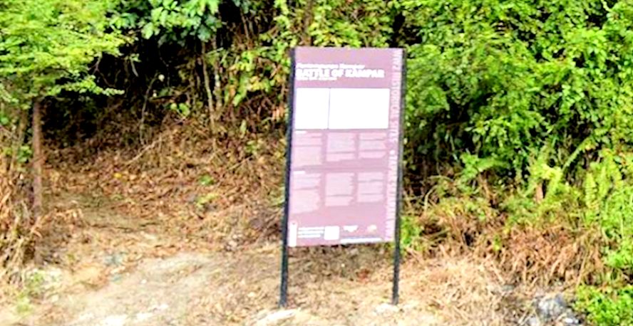
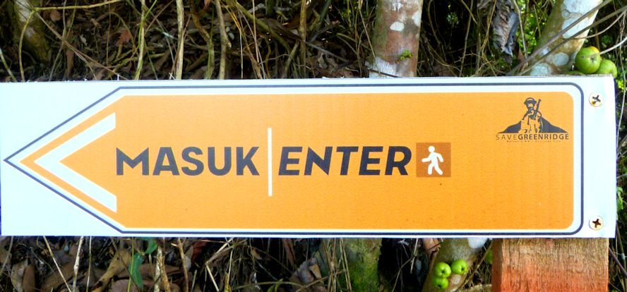
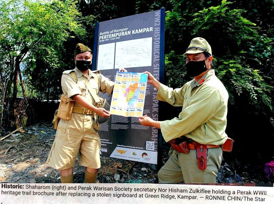
2. The old signage This signboard which was stolen was erected by the Malayan Historical Society and its chairman Shaharom Ahmad
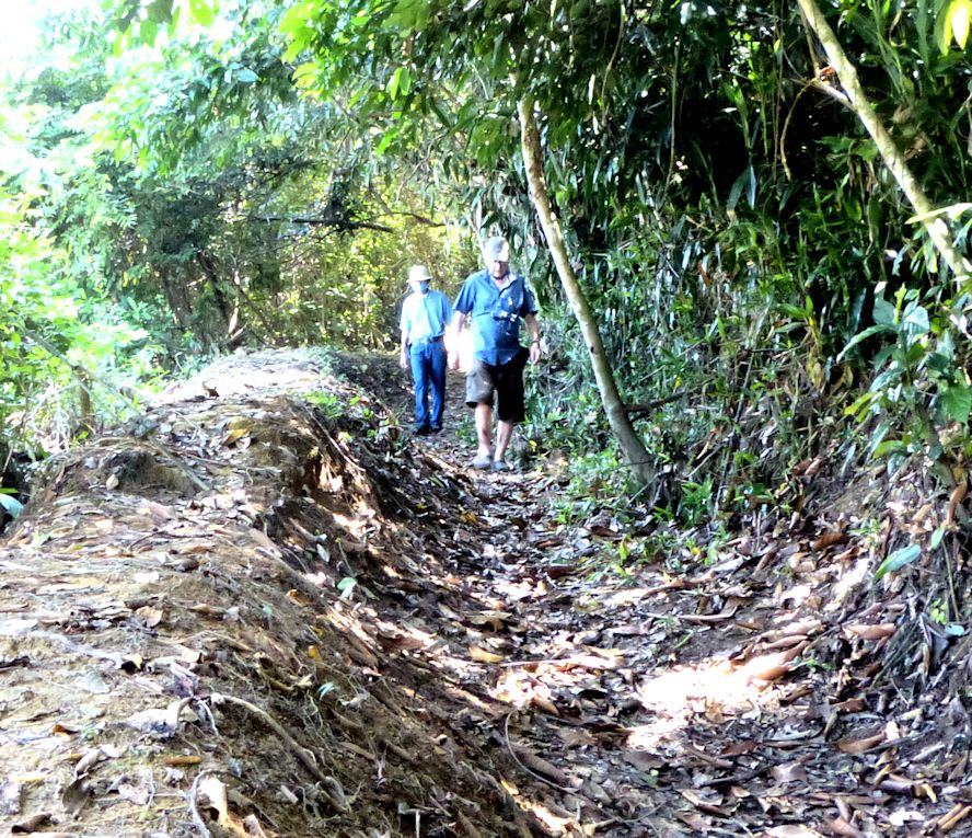
3. The Trail head close up George at the trail head
4. A view of the Approaching Japanese army from raised position
5. More view of the south bound army
6. A small signage confirming the place
7. Enlarged sign
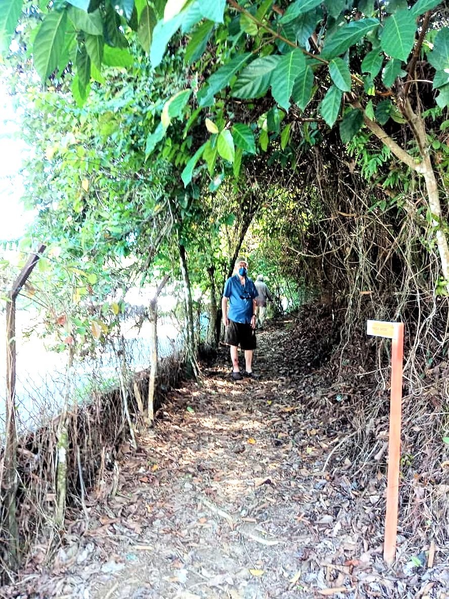
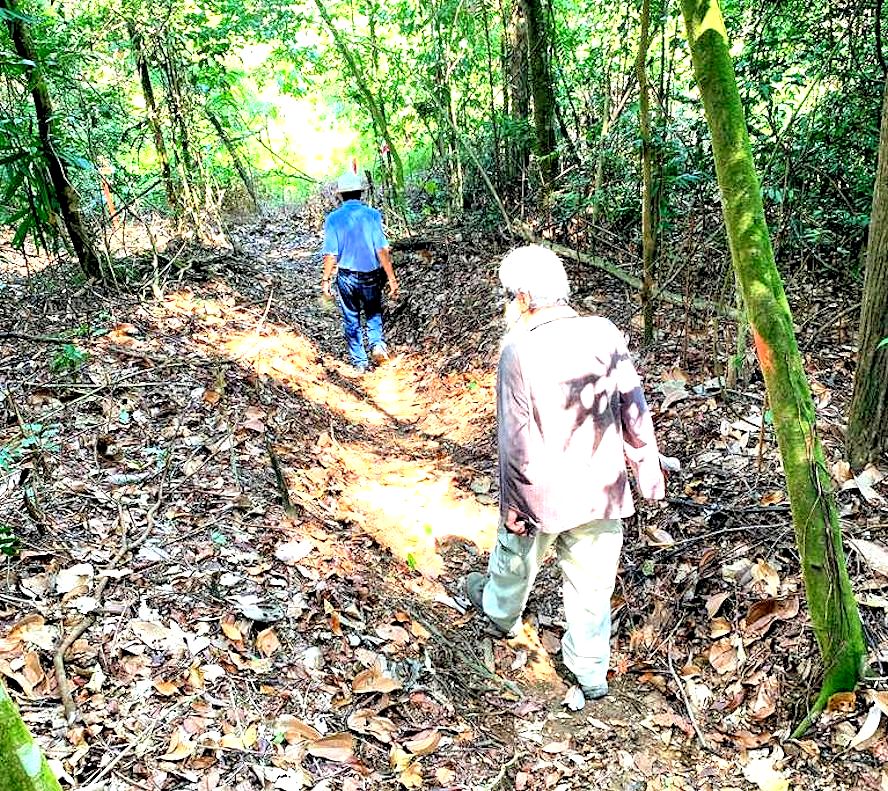
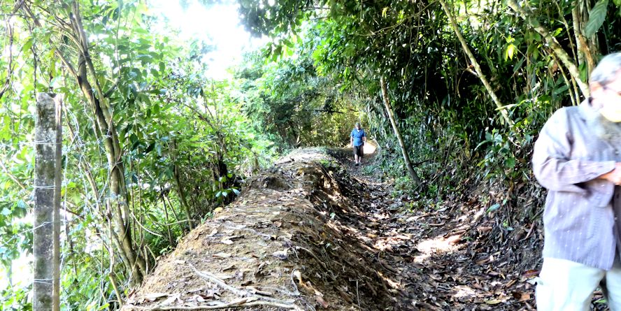
8. On On a gentle slope
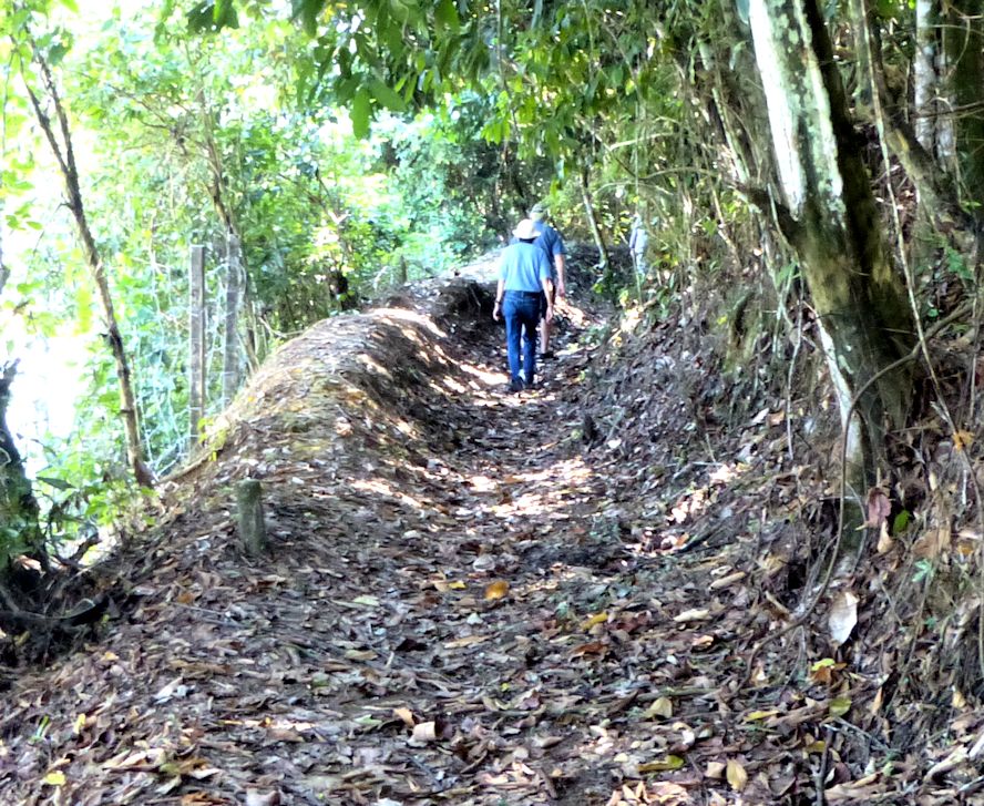
9. Actually it is gully with raised border
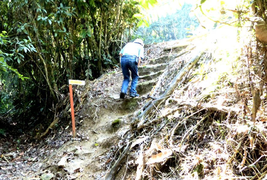
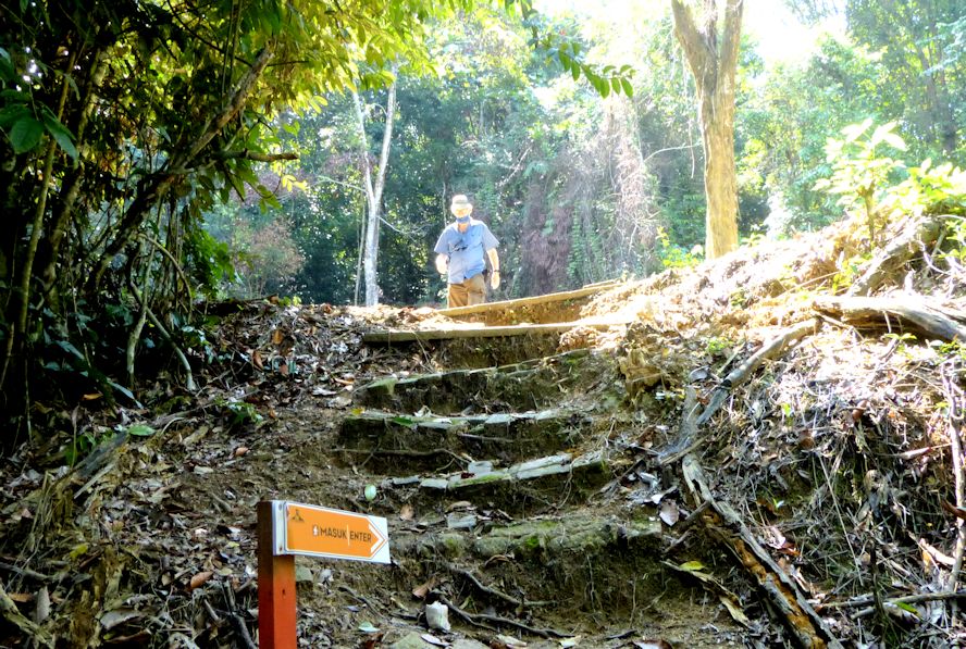
10. Short distance 50 meters, turn right to ascend a slope to the high level
11. Steps going up
12. Looking down from the platform
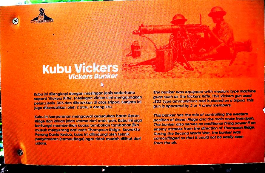
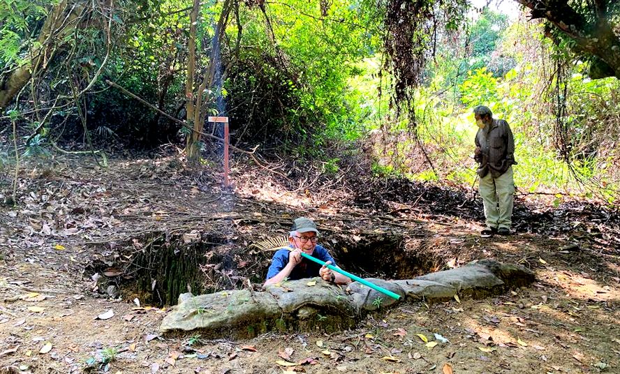
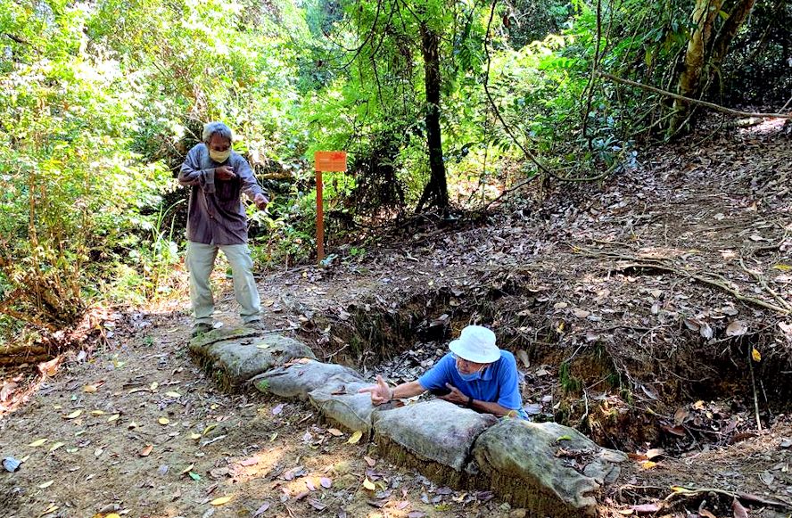
13. Platform land is the command post
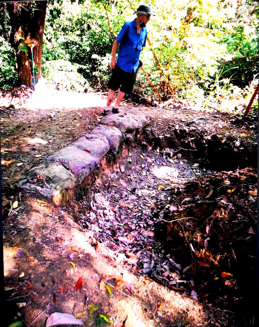
14. Write up of the Vickers Bunker The four days and four nights siege involved 1,500 British Soldiers and 4,000 Japanese soldiers
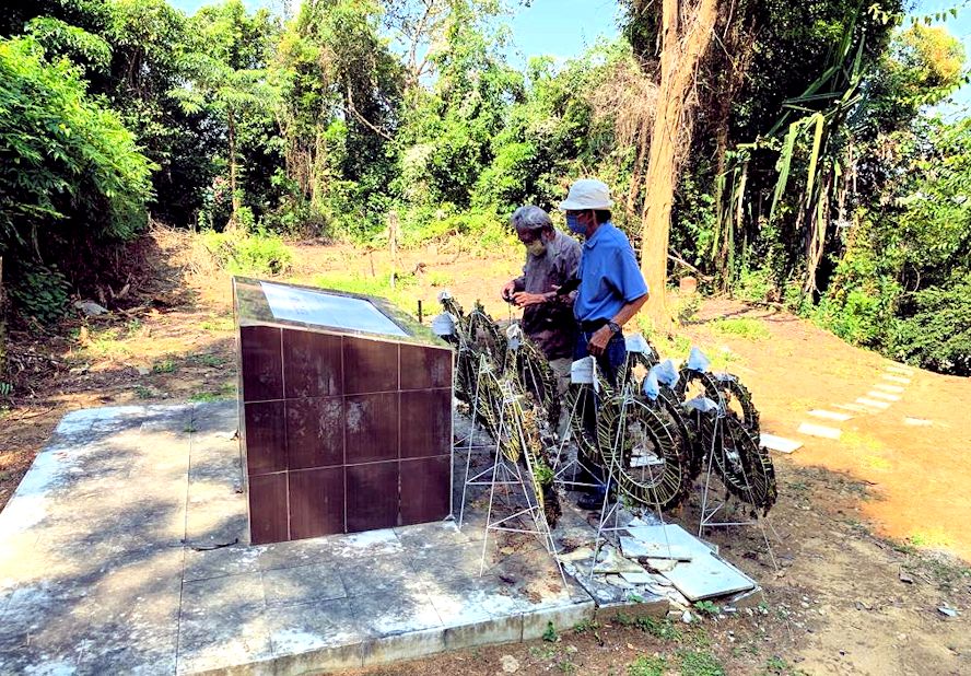
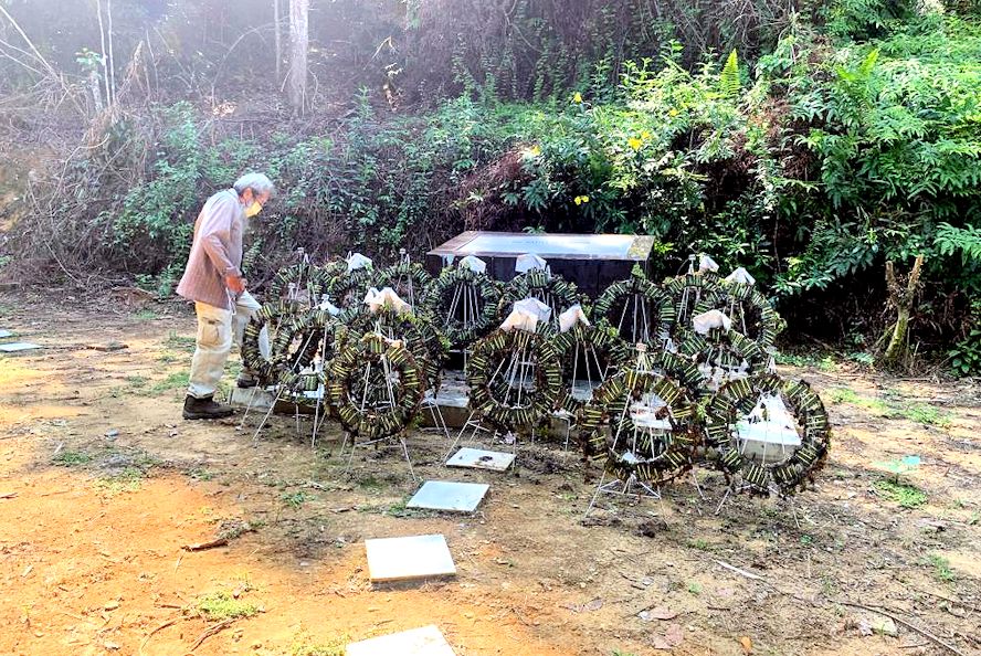
15. Bunker and not trenches
16. Memorial services in December to commemorate Anniversary
17. More pictures
18. From another angle
19. Play time too
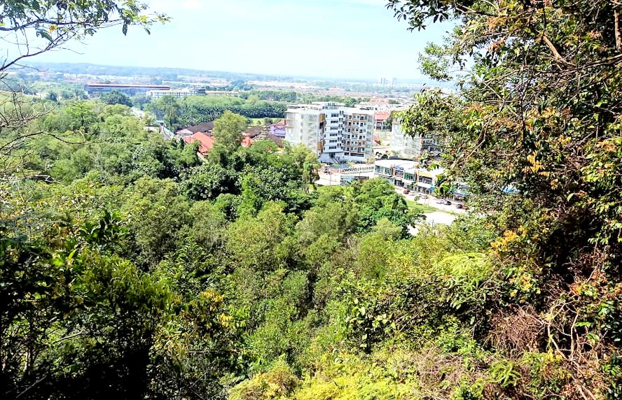
20. Real stuff - not funny
21. Hiking up to the summit of this ridge - the current view
22. On the way down
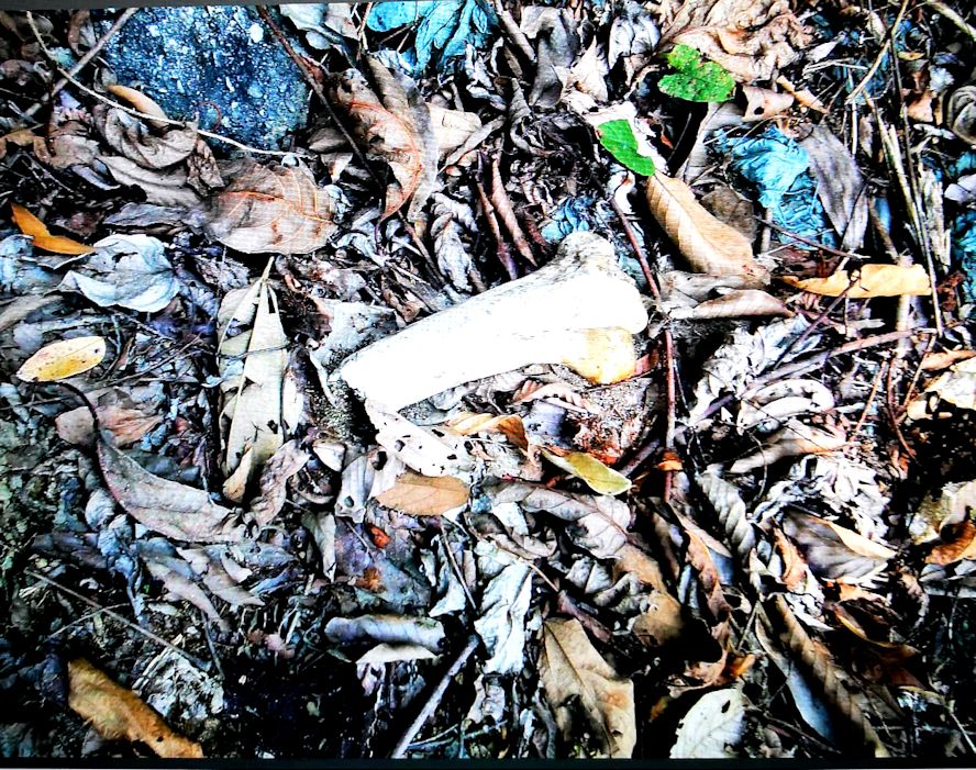
23. Satisfied
24. Someone left chunky bones lying around
25.
Report in the Star Daily
New signage for
Green Ridge
The final tally was 150 British and 500 Japanese soldiers killed. One f the rare battles where Japanese casualty was so much higher Our "Mission" accomplished! I must say that for its remoteness, the place was very well restored and maintained.
|


Return to History Main Page